.jpg)
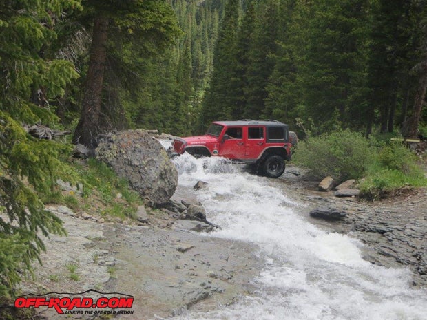
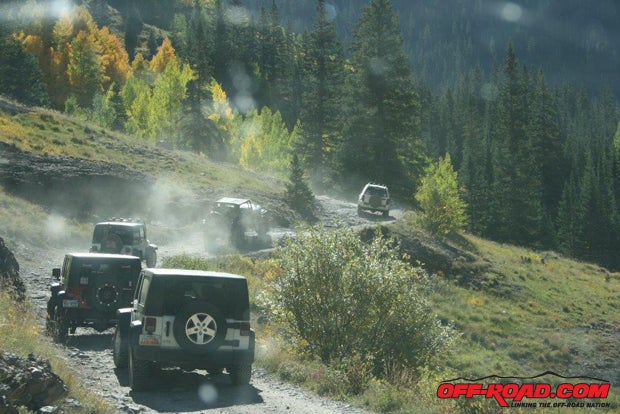
It’s been said that Colorado has so much vertical countryside that if you were able to pick the state up and flatten it out, it would be bigger than the state of Texas! The high-country triangle of Silverton, Ouray, and Telluride—just north of Durango in the San Juan Mountains of southwestern Colorado—proves that theory and provides off-roaders with fantastic four-wheeling. Spend some time in the two-mile-high environment that surrounds the three historic Colorado mining towns and it will keep calling you back forever.
Silverton
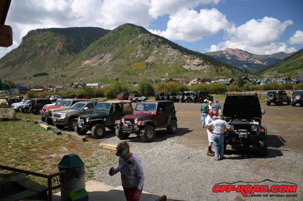
Silverton, where most area visitors camp and call headquarters for their tours, is only 9,300 feet (not quite two miles high and the highest of the three towns), but the passes between and around the three towns climb much higher than that. Silverton averages 200 inches of snow annually, so the newly developed ski area makes sense for winter visitors. However, every summer thousands of tourists visit Silverton. Some bring their own Jeeps; some rent them in town or in nearby Ouray; and some ride the famous Durango-Silverton Narrow Gauge Railroad into town and only wish that they’d thought of bringing or renting Jeeps after seeing the San Juan Mountains. And Silverton puts on a fantastic fireworks show every Fourth of July, which is awesome due to its unique location within the Silverton bowl.
Ouray
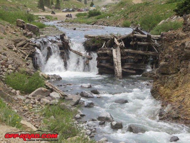
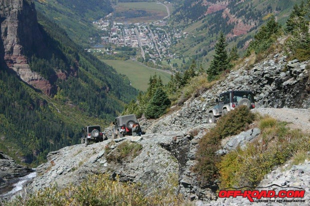
Ouray – about 25 miles north of Silverton on US 550 and 1,500 feet lower – has the appearance of a Swiss mountain village when it first appears in your Jeep’s windshield. Most of the buildings are Victorian in style, with highly pitched roofs and smoking chimneys (even in summer, because the evenings can get chilly at 7,800 feet). Ouray hosts an annual Jeep Jamboree every September, and if you don’t have anyone with whom you can visit the area, seriously consider attending the jamboree. You’ll love the adventure, the friendships you’ll make, the security, and the scenery. See http://jeepjamboreeusa.com/ for more information, prices, and reservations.
Telluride
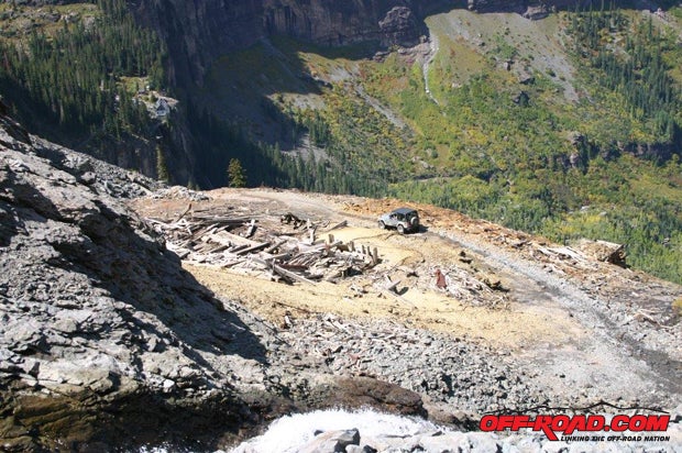
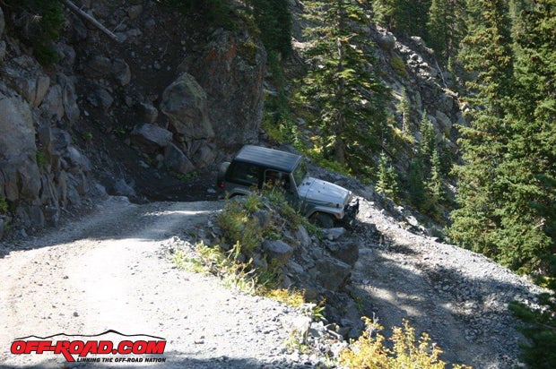
Lying west of the three best-known passes in the area (Black Bear, Imogene, and Ophir), Telluride was a vacation home at one time to Oprah, Tom Cruise, and several other celebrities. (The three passes allow shorter trips—albeit with four-wheel drive—between Telluride, Ouray and Silverton during the summer.) Telluride also hosts an annual off-road event. The local Rotarian club and the local 4x4 club (the Wild Bunch) team up to present Black Bear Pass backward! Each July, if the pass is open and clear of snow, you’re allowed to climb Black Bear rather than drive down it. It’s such a difficult and steep trail, down is the only direction for the entire season that you can drive on the pass. See www.telluridehomecoming.com/3/miscellaneous2.htm for more information and reservations.
Animas Forks
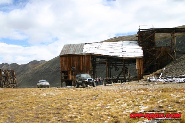
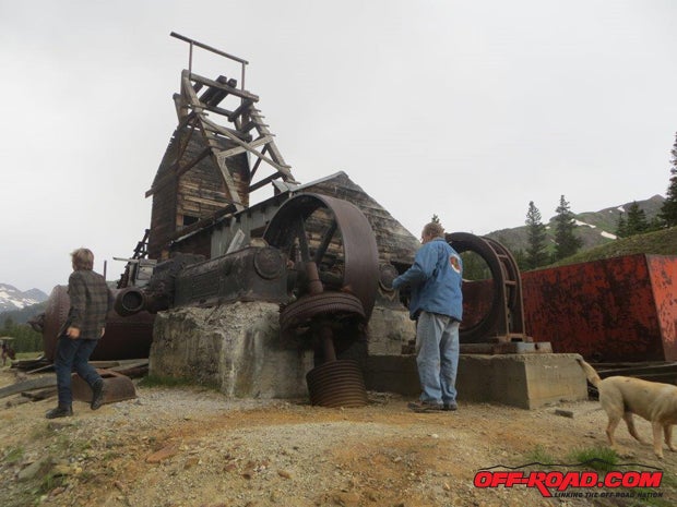
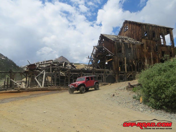
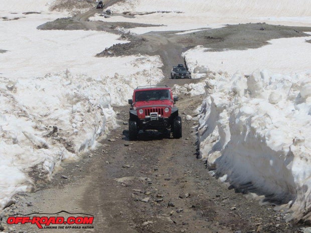
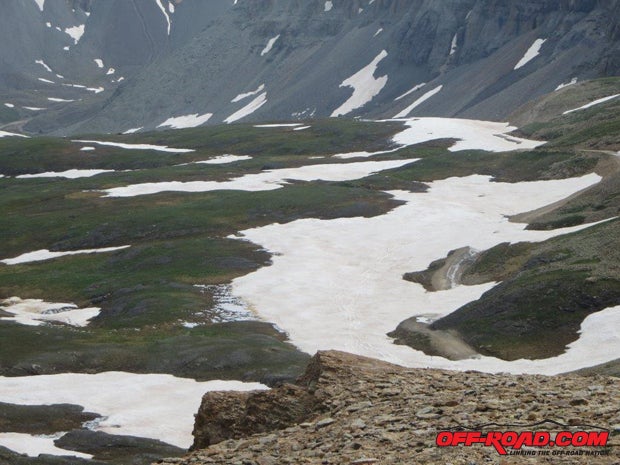
At 11,200 feet, Animas Forks is a registered ghost town, which is maintained in a suspended deterioration state. The BLM, San Juan County Historical Society, Americorp, and many volunteers have stabilized the buildings in Animas Forks so that they can be photographed and enjoyed by thousands in the years to come. Please respect this during your visit. With a population that almost reached 500 in 1883, early residents were also early snowbirds (many left for warmer weather at the first sign of snow). Because it’s an easy but beautiful trail, which will get you acclimatized to the altitude, we felt that Animas Forks was an excellent candidate for our first tour. It’s also a good jumping off place to several passes in the area – just head east out of town on County Road 2 and watch for the signs. Look for the saplings tied to the bridge supports. They’ll give you an idea of the winter’s snow depth because snowmobilers put them there to indicate the bridge’s location beneath the snow.
Before you go, see www.natgeomaps.com/trailsillustrated if you wish to buy maps of the area. If you forget them at home like I did, brochures and maps on the area are also available at the Silverton Visitor’s Center just as you leave SR 550 on the way into town.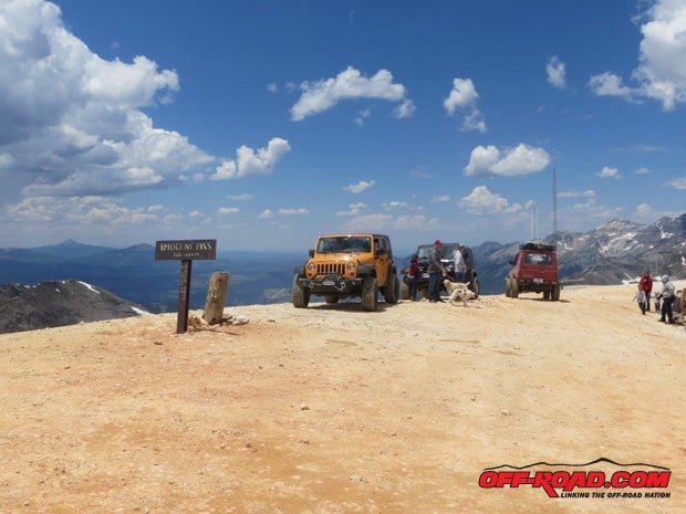
Altitude Sickness
According to Tripadvisor: Altitude sickness is something that visitors to Colorado commonly experience, and it can affect a traveler's sense of well-being quite profoundly. In addition to making one feel dizzy or nauseous, the lack of moisture in the air can cause nosebleeds. A feeling of breathlessness, especially when exercising, is also common. However, these symptoms may or may not be medically classified as altitude sickness, or AMS. Websites addressing the topic of AMS report that visiting elevations below about 8,000 feet will rarely cause symptoms. However, individuals can vary greatly in their reaction to even minor changes in altitude, depending on what altitude his or her body is currently acclimated to, sensitivity to his or her environment, and other medical conditions. The official diagnosis of AMS is made when a headache, with any one or more of the following symptoms is present after a recent ascent above 8,000 feet: Loss of appetite, nausea, or vomiting, fatigue or weakness, dizziness or light-headedness, and difficulty sleeping.
Author’s Notes:
1. If you have any problem with breathing at lower altitudes—either during the day or during the night—make sure you have all your breathing aids with you before traveling to the San Juan Mountains. You might also consider carrying extra oxygen as well, just in case.
2. Dress in layers. The mornings start off cool to cold; middle of the day warms up; and then toward sundown the temperatures go down again.
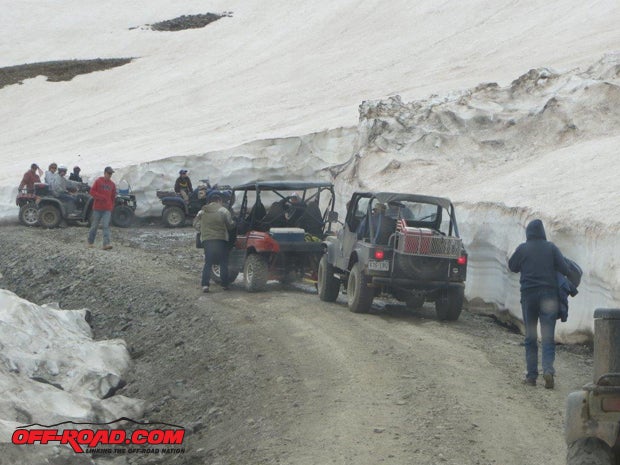
3. Pack a bag with gloves, jackets, hats, etc., for everyone in the Jeep because snow can fall at any time of the year at these altitudes.
4. Carry umbrellas and/or rain gear because thundershowers can come up at any time.


 Your Privacy Choices